


Private Utility
Locating
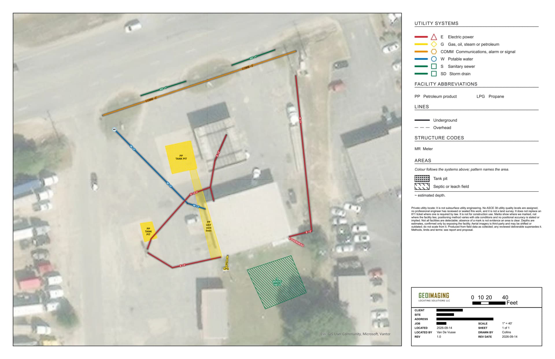
How it works
We combine two complementary technologies to locate both metallic and non-metallic utilities.
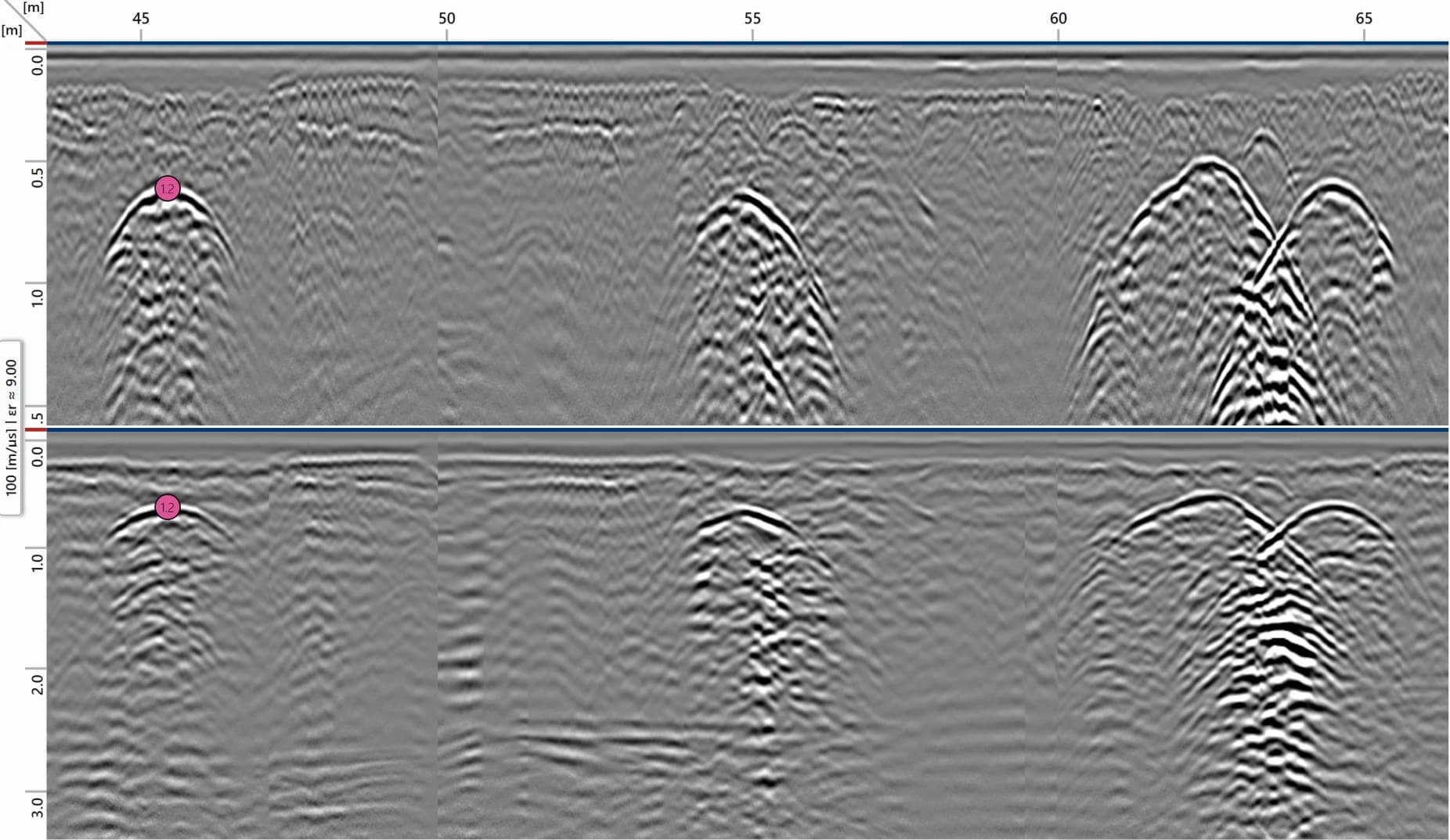
Ground-penetrating radar
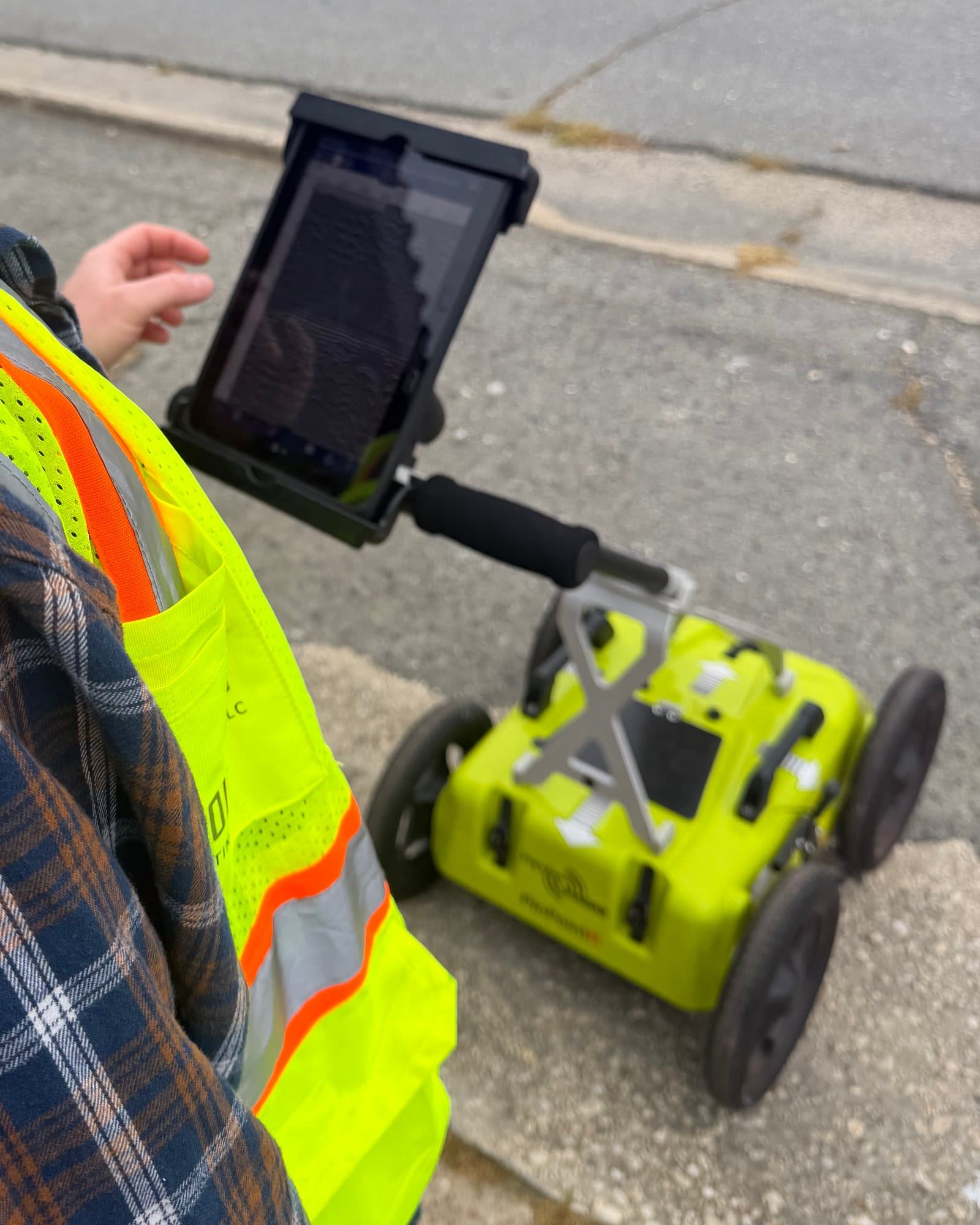
ImpulseRadar PinPointR
GPR uses electromagnetic pulses to image subsurface features non-destructively. It locates utilities, voids, and buried infrastructure, including non-metallic lines like PVC, concrete pipe, and fiber optic.
Electromagnetic locating
Vivax-Metrotech Loc3-5Tx transmitter and Loc3-Pro receiver
EM pipe and cable locators trace metallic utilities along their paths and estimate depth.
Example report
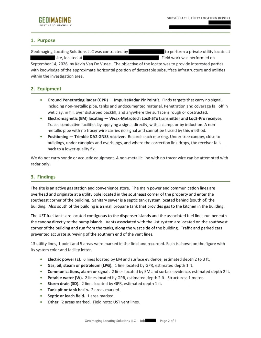
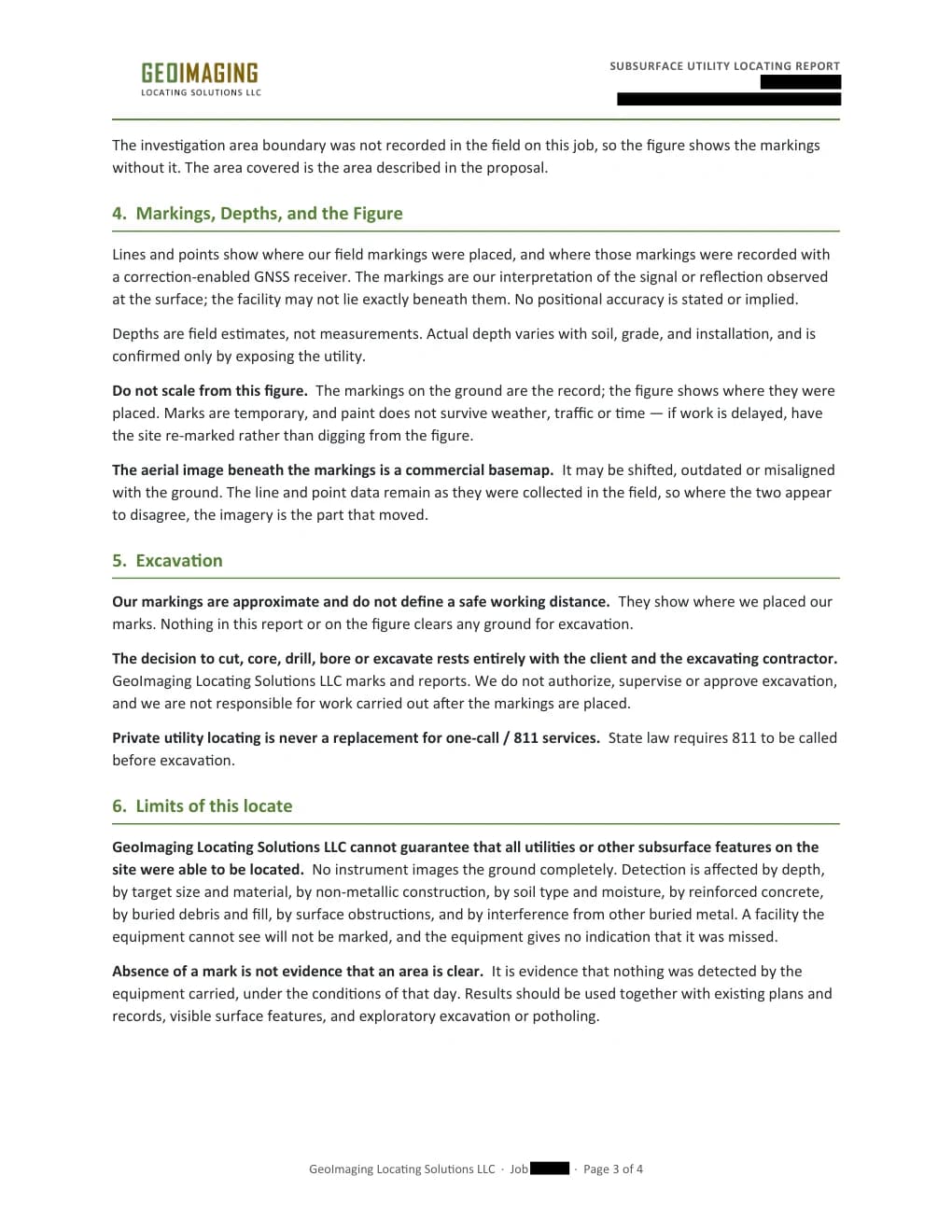
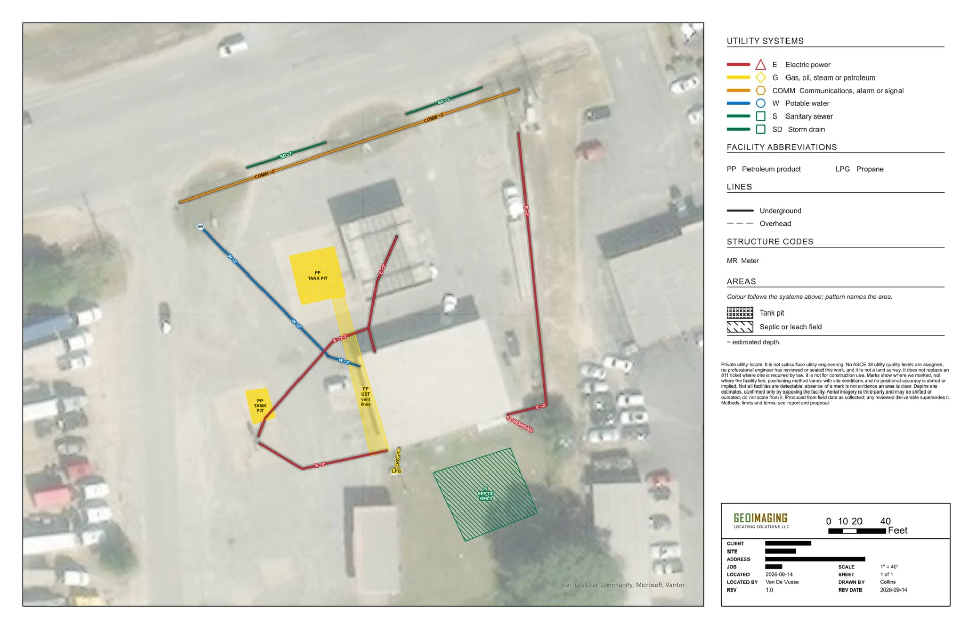
The report behind the figure above: what was found, how it was located, and the limits of the locate. Client and site details redacted.
Open the example report (PDF) (opens in a new tab)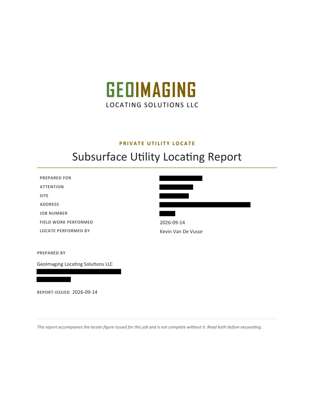

When you need a private locate
- Pre-excavation utility clearance
- Construction site utility mapping
- Environmental drilling clearance
- Locating unmarked or abandoned lines
- Confirming public 811 locate results
- Subsurface infrastructure surveys
Contact us to schedule a private utility locate.